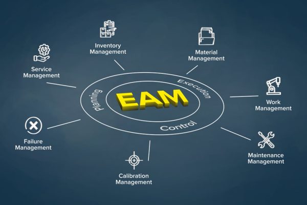
This strategic process unifies geospatial capabilities with enterprise applications like CRM, ERP, asset management, and business intelligence platforms to create seamless workflows where location intelligence enhances organizational decision-making. Successful integration requires careful attention to data standardization, API compatibility, and synchronization mechanisms that maintain information consistency across previously siloed systems.
By embedding spatial components within broader technology ecosystems, organizations can automate location-dependent processes, enrich business data with geographic context, and develop more comprehensive analytics that incorporate the crucial “where” dimension. This connected approach transforms GIS from a specialized tool into an enterprise-wide resource that delivers spatial insights directly to stakeholders throughout the organization.


