Save 80% of your Inspection Travel Costs:
LIDAR for Local Government: High ROI, Low Cost
Key Benefit
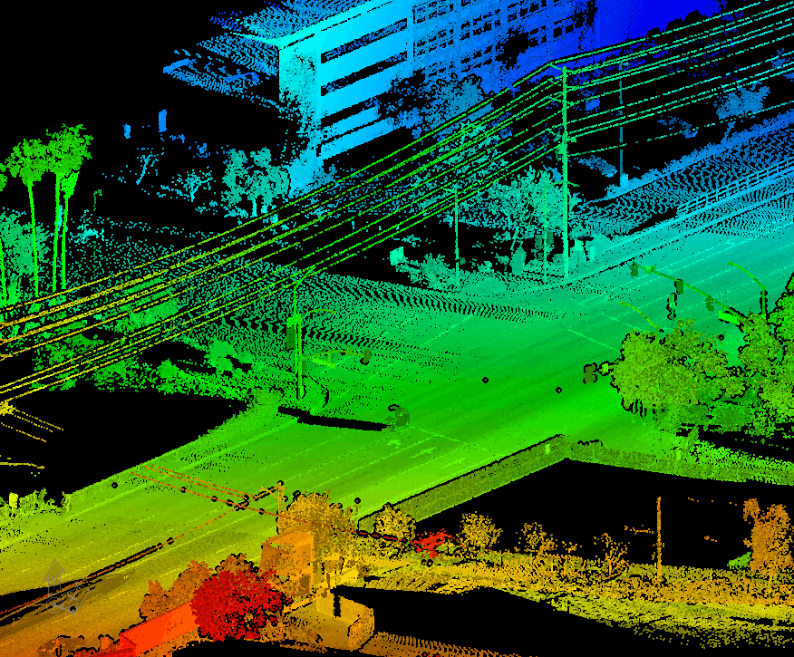
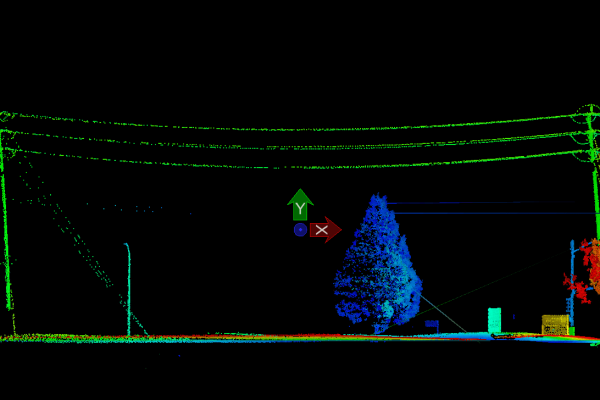
- Save 80% on inspection travel costs with LIDAR-powered Digital Twins.
ROI Snapshot
- Typical ROI: 150–200% within 3 years
- Faster returns with nfoldROI-4D Digital Twin as a Service (DTaaS)
Revenue Gains
- Property tax accuracy: 3–7% uplift
- Permit enforcement: 10–15% increase
- Case studies show 160–420% ROI in year one
Cost Reductions
- Inspection costs down 25–35%
- Emergency repairs cut by 40%
- Staff time savings: 12,000+ hours/year
Applications
- Urban planning, infrastructure, public safety, environmental monitoring, property assessment, utilities, climate adaptation
DTaaS Advantage
- Eliminates upfront costs
- Includes consulting, data capture, AI processing, GIS integration, and platform support
- Scales efficiently across municipalities
Conclusion
LIDAR + DTaaS delivers fast, measurable returns while improving service delivery, safety, and fiscal health.

