adjust.IT boosts spatial accuracy and network performance through advanced conflation and analytics.

Problem Solved
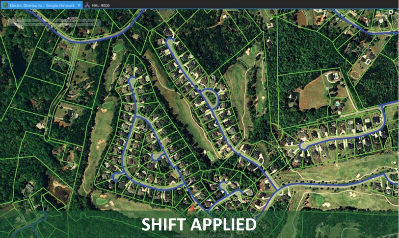
When property boundaries update, organizations must manually reposition infrastructure assets (utilities, roads, signals) on new maps – a process taking weeks per jurisdiction with 5-15% error rates.
Solution
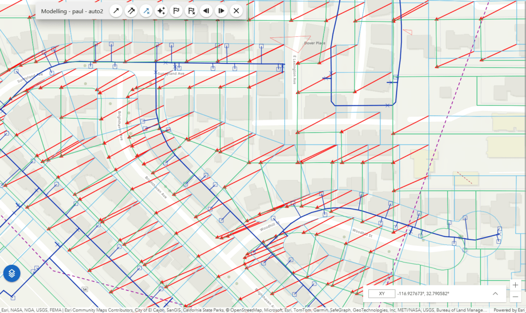
AI-powered automated matching of parcels across cadastral map versions using:
Efficiency
Accuracy
Risk Mitigation
Competitive Advantage
Electric Utility: Update 10,000 parcels across jurisdiction
Telecom: Fiber routes misaligned after cadastral update
Value Proposition: “Eliminate 90% of cadastral update effort while improving accuracy”
Differentiation:
Opportunity:
Transforms a multi-week manual crisis into a 2-hour automated task, providing nfoldROI with defensible IP for a persistent market problem affecting every utility, DOT, and municipality.


