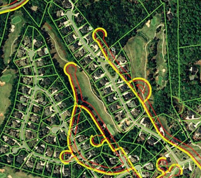
Utilities and telcos worldwide require high-quality, low-cost and secure conflation services to maintain their networks in reference to a changing land base.
These networks may have been digitised from paper maps 30-40 years ago using poor map control.
Since, survey methods have drastically improved using GPS, Digital Imagery or LIDAR – all of them essentially “too accurate” for legacy utility network data.

Our adjust.IT software and delivery methodology improve asset spatial accuracy through advanced spatial Data Analytics and Conflation. The solution increases the efficiency of network management, optimization, and performance.
With the academic origins of our approach going back to the early 80’s, adjust.IT has evolved into the #1 conflation solution since its first commercial release in 2000 with more than 400 million coordinates successfully adjusted to date. See adjust.IT – nfoldROI for product detail.
- #1 Global Conflation Solution
- Desktop and Cloud versions
- GIS vendor agnostic
- Project Management included
- Shift vector model & Network shape are maintained
- Mathematically rigorous least-squares adjustments, Sparse matrix algebra, highly scalable
- Natural Neighbourhood interpolation
- Minimal BAU Roll-out impact
Where simple “GIS rubber sheeting” techniques simply fail or are not scalable – we adjust highly in-homogeneous vector and raster data to any number of spatially accurate control points whilst preserving the network shape – using mathematically rigorous least-squares adjustments, sparse matrix algebra and Natural Neighborhood interpolation.
We use an Artificial Intelligence (AI) pattern-matching system for automated land base epoch reference layer conflation (Pat. Pending).
Now available in ArcGIS Pro, ArcMap (including ArcFM) and ArcGIS Online – sharing the same high-performance adjustment engine solving 300,000 unknowns/second.
