GIS Support

Quality and comprehensive GIS support is vital to maintain an effective business system.

Quality and comprehensive GIS support is vital to maintain an effective business system. Beyond merely troubleshooting technical issues, robust GIS support ensures continuous data integrity, system availability, and optimal performance of spatial applications that drive critical business decisions. Professional support services provide timely resolution of emergent problems, proactive maintenance to prevent disruptions, and strategic guidance for system upgrades that align with evolving business needs. Organizations that invest in comprehensive GIS support experience enhanced productivity, improved data-driven decision making, and greater return on their geospatial technology investments while minimizing costly downtime and data inconsistencies.


We provide expert GIS consulting, training, and support services to help you enhance your geospatial data and solutions, including GIS health checks and data creation to full GIS implementations and integrations.

SHARE THIS

Products we use for GIS Support

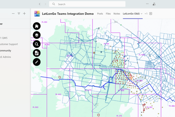
LatLonGo Microsoft Power Platform Teams

LatLonGo Microsoft Power Platform

LatLonGo for the Power Platform extends the functionality of our successful LatLonGo Native product.
nfoldROI LatLonGo Native

LatLonGo Native

App development is a comprehensive process that involves design, development, testing, and deployment.
nfoldROI GIS Conflation

adjust.IT Esri Utility Network Model

The ESRI Utility Network Model (UNM) – a comprehensive utility and telco framework.
nfoldROI GIS Conflation

adjust.IT Esri ArcGIS Online

ArcGIS Online, a cloud-based mapping platform.
nfoldROI GIS Conflation

adjust.IT Esri ArcMap

ArcMap will retire on March 1, 2026 presenting an exciting opportunity for adjust.IT ArcGIS Pro.
nfoldROI GIS Conflation

adjust.IT Esri ArcGIS Pro

ArcGIS Pro is a powerful desktop GIS software developed by Esri allowing users to visualise and analyse data in both 2D and 3D.
nfoldROI GIS Conflation

adjust.IT GE Smallworld GIS

GE Smallworld GIS, a cutting-edge geospatial information system.
nfoldROI GIS/ERP Integration

GIS|Connect

GIS|connect – World first SAP Certified interface at United Energy in 1996, still in production today.